Consall Nature Reserve Walk - White Route
Overview
Difficulty: Medium
Distance: 1.6 miles / 2.5 kilometres
Terrain Type: Mainly dirt tracks with some boarded pathways and bridges. Contains steep gradients and uneven terrain.
Starts from: Consall Nature Reserve Visitor Centre, Wetley Rocks, Stoke-on-Trent, ST9 0AF
Introduction
Consall Nature Reserve is a picturesque 479 acre site nestled in the valley of the River Churnet. A mixture of woodland, wetland and grass meadow, this RSPB reserve is home to a variety of bird species. In this article, we will be guiding you through the white route – one of the four routes that start from the visitor centre.
To get here, turn left off the A520 at Wetley Rocks and take the A522. About 600m later, take the left turn onto Consall Lane, which will take you into Consall village. Once you hit the T-junction in the village, turn left and follow the road for about a mile. Eventually you will hit a fork in the road. Follow the right hand road with the RSPB welcome sign and the stone pillars on either side. After another half a mile, turn right to access the car park.
The car park is open from 9am-9pm (or dusk to dawn if earlier). There are plenty of spaces and it’s free to park, though you are encouraged to leave a small donation in the boxes surrounding the car park. There are toilets available to use at the visitor centre. The centre itself has been shut for several years, but there are still picnic benches dotted outside and on the adjoining meadow if you fancy a bite to eat outside.
Due to the abundance of sensitive wildlife here, dogs need to be kept on leads and under control while in the nature park.
Route
The white route is the second longest of the four available to follow and should take about an hour and a half according to the information on the sign at the visitor centre. We managed to do it in just over an hour though, and we took plenty of breaks for photos.
From the visitor centre, we crossed the car park and took the path on the left. It’s quite a straightforward route from here on out – just follow the posts with the white notches in the top.
Along the first stretch, the path will join up with the red route as you stroll down the bank through the woodland. Eventually though the path will split, with the red route going off to the right into Lower Lady Park wood. The white path goes in the opposite direction, taking you over the wooden bridge that spans the stream.
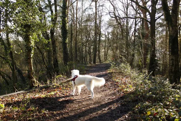

After you’ve crossed the bridge, the route gets a bit more challenging as you start to ascend the stairs to the top of the valley. It’s a steep gradient and each step has a high rise to it, so don’t be surprised if you’re out of breath by the time you reach the top. It was definitely an eye opener for me, doing this walk after spending two weeks solid stuffing my face during the Christmas break!
When you do reach the top though, you’re rewarded with great views out over the valley. The walk then continues along the ridge for a short while, with the Far Kingsley Banks on your right hand side. If you choose to do the purple route (which is basically just a half hour extension of the white route) then you’ll take the path that branches off to the right from the ridge. This then loops around the Far Kingsley Banks before rejoining the white route further along the ridge.

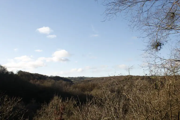
After a short while, you’ll start the climb back down to the valley floor on a mixture of wooden steps and mud track. It’s worth noting that after a period of rain, this route becomes very boggy. you’ll need a robust pair of boots or wellies with good grip if you’re tackling this walk in winter. If you wear a pair of trainers they’ll get ruined, and there’s a good chance you’ll end up on your backside to boot. There are some sections of this downwards stretch where there is no handhold, which is something to bear in mind if you’re not steady on your feet or have a big dog that pulls on the lead.


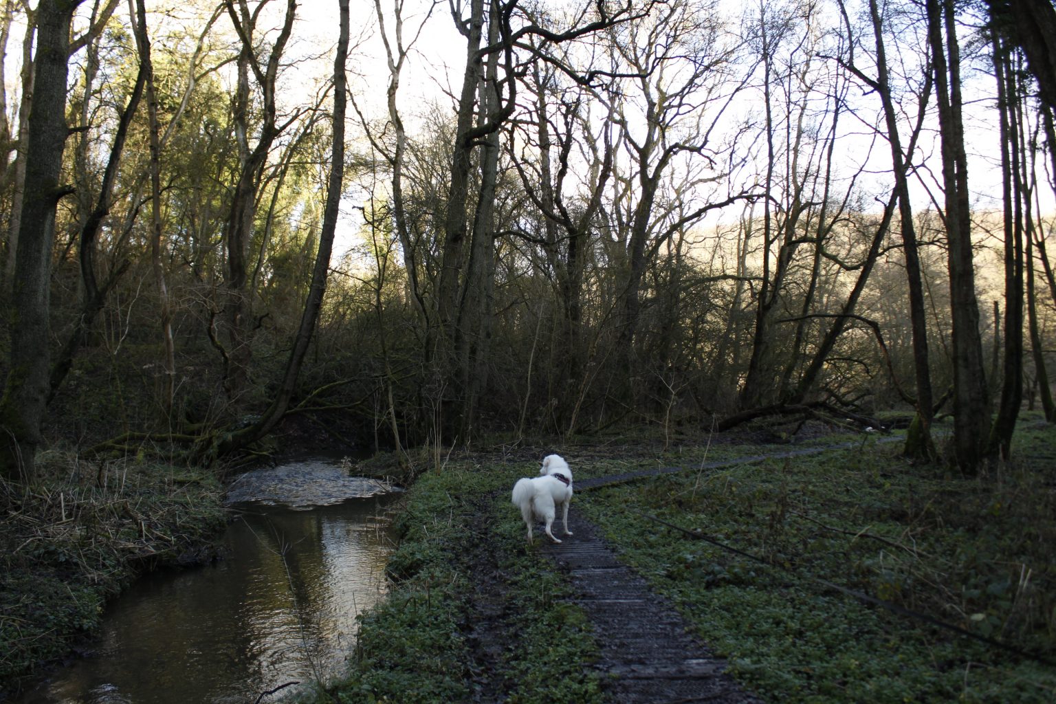
Once you’ve hit the bottom of the valley again, you’ll walk along the boarded pathway running parallel with the stream through Lawn Wood. Flynn had a great time having a splash about in the water here, as you can see in the photos. This path will eventually bring you out of the woods to the edge of the River Churnet. The water here can be fast moving, so I wouldn’t advise letting your dog in the water unless you’re 100% comfortable.
When you reach this point you’ll want to turn left so that the river is on your right. You’ll notice a couple of bridges up ahead that cross the river. Going over these will take you to the Caldon Canal, which has more points of interest and other walking routes along it. For this route though, we’ll follow the white markers to the left that head back towards the visitor centre.
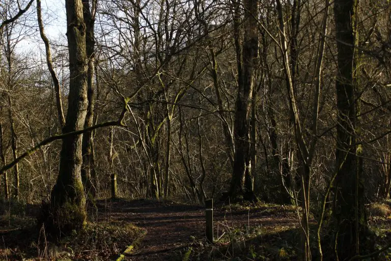
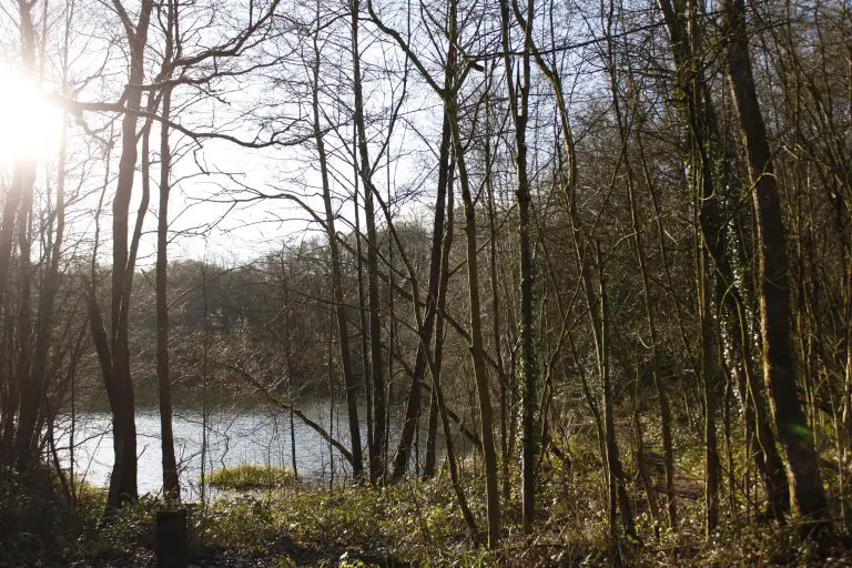
The last leg of the walk takes you back through Lawn Wood, running right alongside the tarmaced country lane. Dogs can easily get under the fence separating the path from the lane, so make sure you keep them under close control for this section.
Eventually the beautiful Lawn Pool will appear on your left, and you’ll skirt around the edge of this for a short while. This is a fishing pool, so if you see any anglers remember to be courteous and keep the noise down while you walk along here.
The path then branches off to the right, where you’ll make your way up your final flight of steps. These bring you out on the main road, but you immediately leave this by following the white marker in front of you. This takes you on the final section of path that emerges at the back of the visitor centre.
What to do after
If you’re not quite done with walking yet, why not try the red or green routes after you’ve finished the white? These are shorter than the white route and explore different parts of the nature park.
Alternatively, you could cross the bridge over the River Churnet and try out some of the trails that start from the canal. You can also visit historical reminders of Staffordshire’s industrial past like the Lime Kilns and the Flint Mill from here. Churnet Valley Railway’s Consall Station is situated here too, so depending on the day you might see see a steam train rolling into the station.
If you’re after good food and drink, it’s worth checking out the Black Lion Inn, which is again situated on the canal. They’re dog friendly and offer great pub food which you can enjoy in the canalside beer garden. Due to recent events their opening times are quite irregular, so it’s best to check their Facebook page to see if they’re open before heading down.
More Like This...
Middle Black Clough Waterfall Walk
This short but rewarding walk in the Peak District is well worth it for the...
Chatsworth House Walk
Enjoy a walk around the grounds and gardens of one of Britain's most famous stately...
Is Harlech Beach Dog Friendly?
Harlech Beach is a beautiful part of Wales, with the impressive Snowdonia National Park forming...
Bosley Cloud Walk
You will enjoy stunning views of the Cheshire countryside on this concise route, as well...
