Knypersley Reservoir Walk
Overview
Difficulty: Easy
Distance: 3.9 miles / 6.2 kilometres
Terrain Type: Cobbled hiking path around the reservoir, and dirt tracks and field in the nature park. Boggy in wet weather.
Starts from: Knypersley Reservoir Car Park, Brown Edge, Stoke-on-Trent, ST8 7QY
Introduction
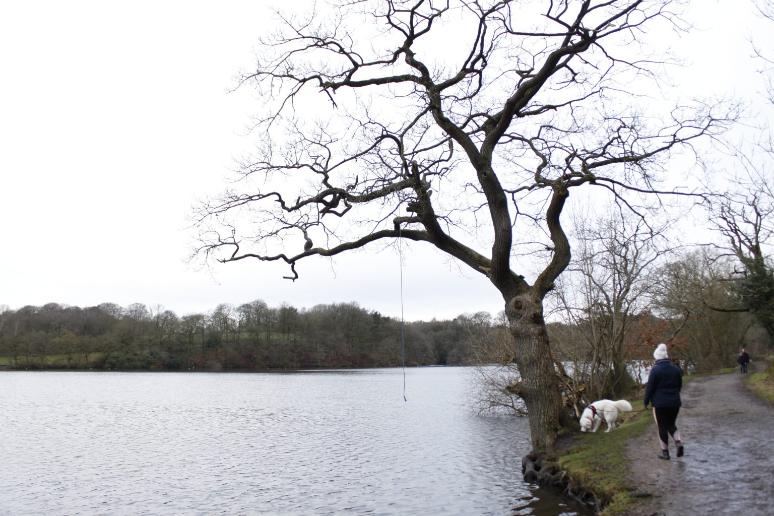
This relaxing route begins by taking you part of the way round the scenic reservoir, before turning off into Greenway Bank Country Park. There are several picturesque features to take in on this part of the walk. After a gentle stroll up the bank through the woodland, you’ll head back down the the hill through grassy fields until you rejoin the reservoir. The rest of the route will take you around the remainder of the reservoir path.
To get to the starting point of Knypersley Reservoir Car Park, turn onto Bemersley Road from the A527 at the junction just outside Brindley Ford. If you’re coming from the south, turn onto Norton Lane from the A53 and carry on straight over the crossroads onto Bemersley Road. After a while you’ll see a turning for Greenway Bank. Turn down here and follow it until you reach the car park and reservoir at the bottom of the bank.
The car park is free to use but it is quite small and can fill up quickly. If you can’t get a spot here, there are some spots available on the reservoir bridge. Alternatively, you could try Greenway Bank car park halfway up the hill. There’s a Visitor Centre here that sells gifts and refreshments. It also has toilet facilities should you need them.
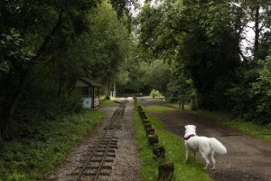
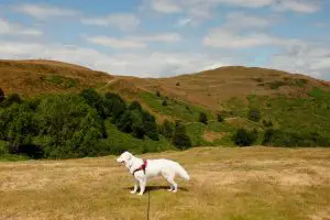
There are signs asking you to keep dogs on leads around this route, and that’s what we did with Flynn. However, we saw plenty of dogs walking off lead during our visit. Be warned that dog waste bins are few and far between on this route. We only clocked two – one on the car park and one deep in the woods in the park.
Knypersley Pool to Gawton's Stone
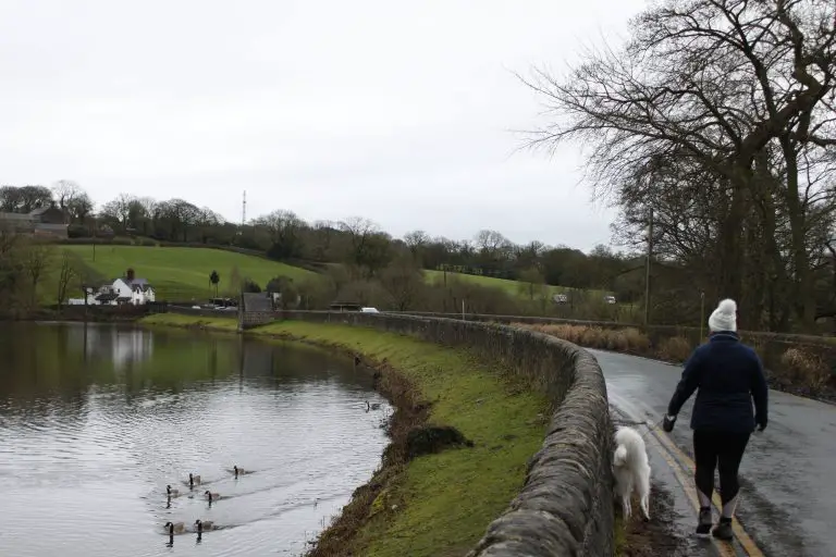
Rather than going through the gate leading onto the reservoir path, we chose to start by walking through the car park exit and turning left. There’s approximately 300m of road walking here as you cross the bridge, so make sure to keep your dogs close. Once you’ve crossed the bridge, turn left through the gate and start following the path around the reservoir.
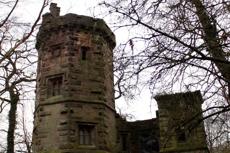
After a short while, you’ll cross a small bridge. You’ll come to a junction where a path leads off to the right. We’ll be taking this path as part of the route, but I’d first recommend exploring the the Warden’s Tower on the mound on your right hand side. This impressive three storey octagonal tower was originally constructed in 1828 as a gamekeeper’s lodge for the Knypersley Hall Estate.
Once you’ve had your fill of the tower, either take the previously mentioned right hand path, or follow the path behind the tower leading away from the reservoir. Regardless of which route you choose, you’ll eventually end up at a point where several trails meet. There’ll be signs for Gawton’s Well, Gawton’s Stone, and the waterfall.
We took the left hand path up towards Gawton’s Well first. The water from this spring is said to have healing properties. Surrounded by a ring of yew trees, it’s easy to see why this spot was voted one of the most mystical places in Staffordshire. When you’re done seeing the well, head back the way you came until you hit the junction again.
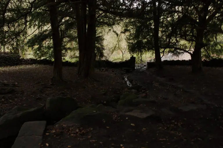
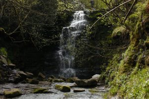
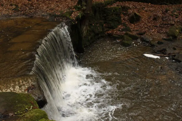
From here, follow the signs for the waterfall. The path winds up the hill for a period until you emerge at the top with the waterfall on your right. Flynn loves the water, so we let him have a good splash around in the stream feeding the waterfall. The waterfall itself has a fairly high drop, so make sure your dogs don’t get too close to the edge.
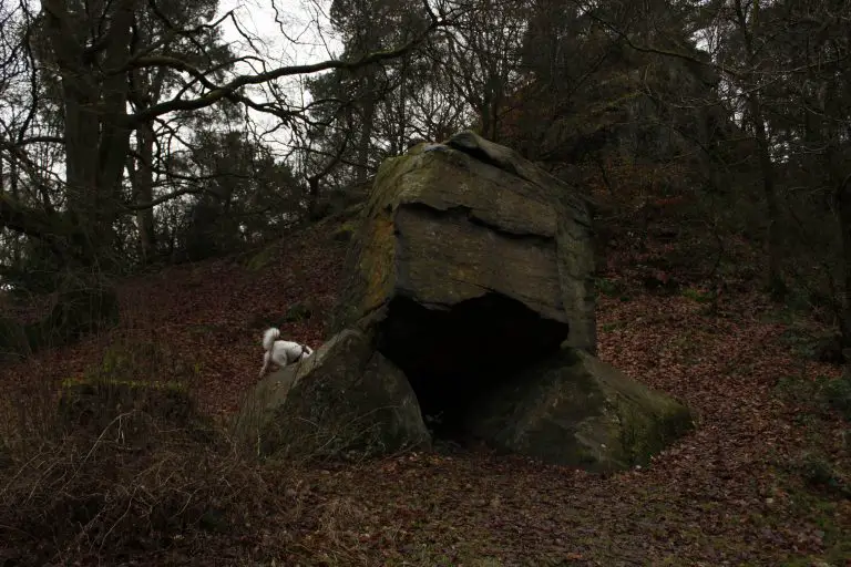
Once you’ve passed the waterfall, continue along the path that curves to the left. Eventually you’ll come to a T-junction. If you look to your left, you’ll see Gawton’s Stone. It’s theorised that a hermit once lived under the stone after being healed at Gawton’s Well. Some people also believe that the stone has a magical aura and exudes energy when you touch it. I’m sceptical of this, but then again I never touched the stone so who am I judge!
Greenway Country Park to Knypersley Pool
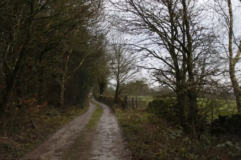
Turn right at the T-junction and follow the path up the bank. About halfway along this stretch, you’ll go through a gate. This point had the only dog waste bin we encountered on the walk (barring the one on the car park). After you’ve gone through the gate, carry on up the path with the woodland on your left and the stone wall and fields on your right. When you reach the end of the path, turn left and left again shortly after to start the descent back down the bank.
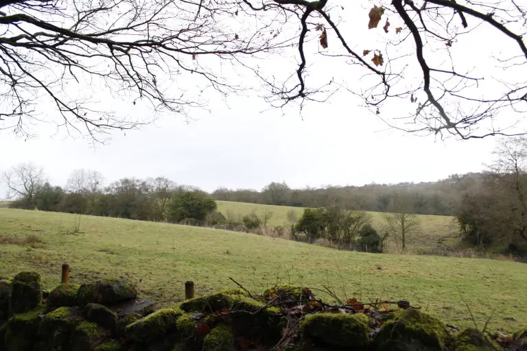
After a while, you’ll notice a gate in the wall on your right hand side with public footpath markers next to it. Go through the gate and take a minute to enjoy the view. On a clear day, you can see Mow Cop Castle in the distance over to the right. Start crossing the field by heading in a direction 45 degrees to your left.
When we visited in winter, it was pretty obvious where the path was due to the tracks left by others. It was also extremely boggy, so you’ll need some good walking boots or wellies if you’re giving this route a go after wet weather. There weren’t any livestock present when we crossed these fields, but there were plenty of animal droppings about, so be prepared to keep your dog on the lead here if necessary.
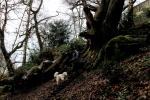
Once you reach the bottom corner of the first meadow, you’ll see a gate which you should go through. Head straight until you reach the edge of this field before turning left, following the public footpath signs. After that carry straight on until you reach the gate leading back into the woodland. You’ll follow the path down the hill through the trees until it brings you back out by the Warden’s Tower.
The Serpentine Lake
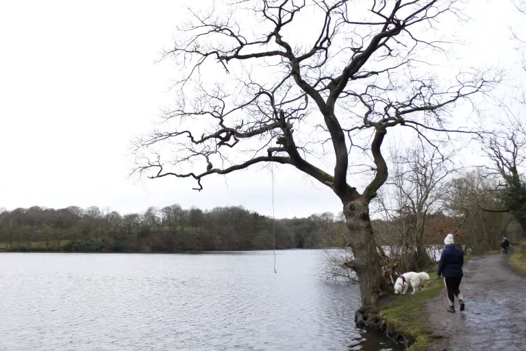
Once you’re here, turn right and follow the path round Knypersley Pool. We stuck to the left hand paths from this point on to stay near the water, but there are occasional detours off to the right that you’re welcome to explore. These will eventually rejoin the main path.
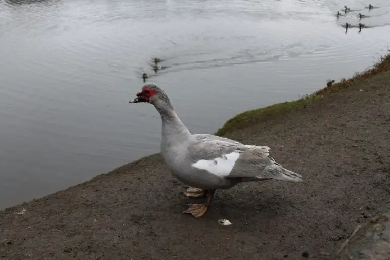
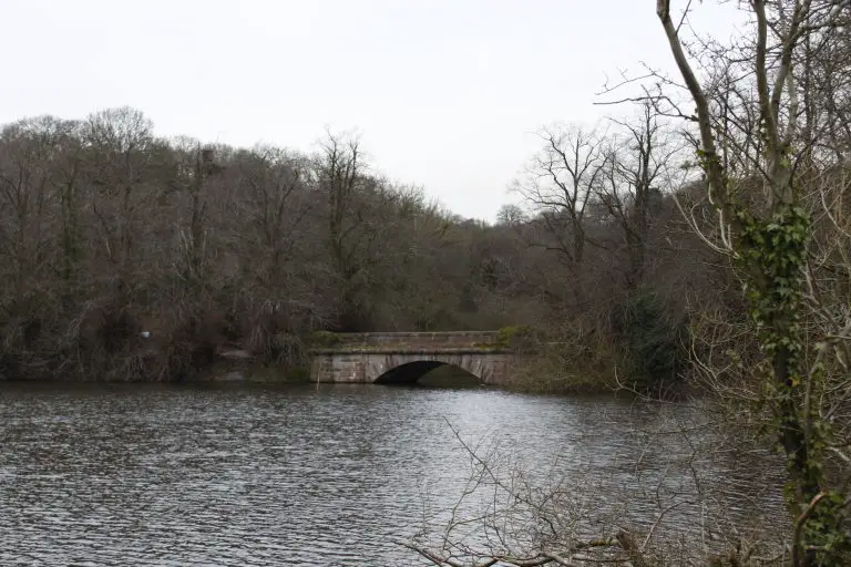
Halfway along the reservoir, there is a dam that splits the pool in two. You can cross over here if you want a shorter walk – turn left when you reach the other side to get back to the car park. We opted to take the right hand path though, that encircles the Serpentine Lake. This is a popular fishing spot, so be courteous and keep your dogs under control if you spot any anglers.
Not long after you’ve gone around the top end of the lake, you’ll notice a sign for the Greenway Bank Visitor Centre. Take a right here if you want to make use of their facilities. Otherwise carry on down the left hand path. Eventually you’ll start coming up on the dam in the middle of the pool again. Take the right hand route up the hill before turning left. Keep following the path as it curves around the edge of the reservoir until it finally brings you back onto the car park.
What to do after
If you fancy a drink after your walk, there are three top-rated dog friendly pubs within spitting distance of the reservoir. You can choose from The Gardener’s Rest in Brindley Ford, The Gardener’s Arms on the edge of Knypersley, or The Top Pub in Brown Edge. All three welcome dogs and have excellent reviews on Google (they were all over 4.5 stars at the time of writing). They also all serve quality food if you’re feeling peckish.
More Like This...
Rudyard Lake Walk
This gentle route around Staffordshire's Rudyard Lake is perfect for a sunny weekend walk with...
British Camp Hill Fort Walk
You'll enjoy wide-ranging views of the Worcestershire and Herefordshire countryside once you're at the summit...
Middle Black Clough Waterfall Walk
This short but rewarding walk in the Peak District is well worth it for the...
Chained Oak and Dimmingsdale Loop
This tranquil route takes you right into the heart of Dimmingsdale, one of the most...
