Middle Black Clough Waterfall Walk
| Overview | |
|---|---|
Difficulty: | Medium |
Distance: | 1.2 miles / 2km if you go to the waterfall and straight back, or 3.0 miles / 5km for the route we did. |
Terrain Type: | Hiking trails, rocky terrain, stone paths |
Starts From: | Car Park by Woodhead Railway Station, off the A628, SK13 1JE |
Closest Vet: | |
The stunning Middle Black Clough waterfall is only a half hour walk from the starting point of this route. There’s a bit of a scramble over some tricky terrain to get there, but it’s well worth it! If you only want to see the waterfall, the whole route will only take about an hour. We had some more time to kill, so we headed a bit further down the Longdendale Trail before turning back.
We parked at the small carpark just off the A628, next to Woodhead Railway Station. It’s free but it fills up quickly, so make sure to get there early. There’s also a sharp bend on the car park road just before the junction with the A628, which does make it a little tricky to see when pulling out left. If you can’t get a spot on this car park, there are some nearby laybys on the A628 you can use.
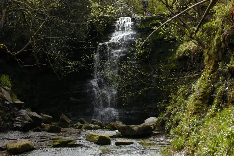
Middle Black Clough Waterfall
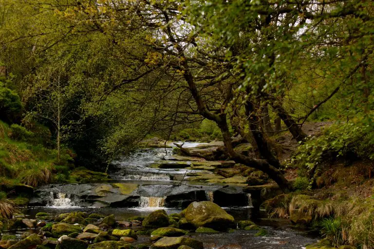
Head down the bank towards the bottom of the car park and cross the bridge to your left. Turn left again once you’re over the bridge and head along the path that leads by the water. The water in question is the River Etherow which feeds the Longdendale Chain, which is the name given to the 6 reservoirs further downstream.
After about a quarter of a mile, there’ll be a turning up on the right, where water from the Cloughs join the main river. Follow the turning and head up the bank into the woods, keeping the water of Near Black Clough on your left. About halfway along the path, you’ll see Far Black Clough feeding into water running down by the path. Just after this, you’ll want to cross the water using the stepping stones. We visited in the summer, so the water level was relatively low. However, looking at pictures from wetter times of the year, it looks like this section can become quite fast-flowing, so take care when crossing. Follow the path up the bank and then turn left up to Middle Black Clough when the water forks off into two.
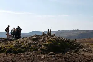
This next bit isn’t a straightforward walk. There’s some scrambling up the hill over some narrow rocky paths, as well as some fallen branches to contend with. This section isn’t too long though, and after a quarter of an hour you’ll reach the magnificent waterfall. It stands at around 10m high and makes for some great photos, especially if you get the right weather.
You can get right up to the drop by using the stones on the left hand side of the ravine. Take extra care anytime you step into the water on this section, as the stone underneath the water is so smooth it can be like ice underfoot. It’s possible to access the top of the waterfall from here too if you wanted to. There’s a steep path that leads up the left hand side of the ravine that you can get to the top from.
Longdendale Trail
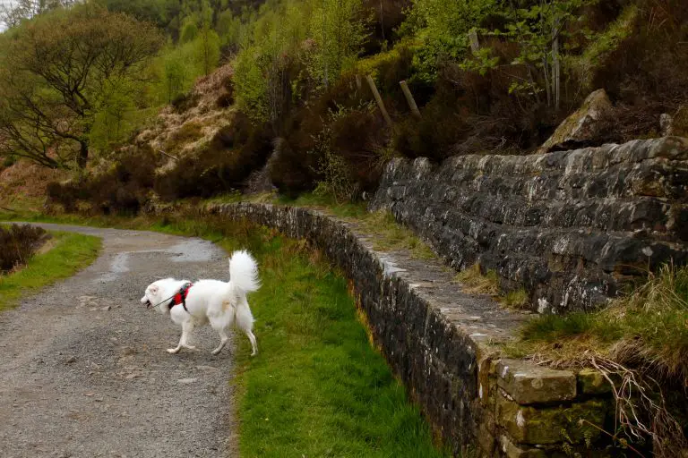
Middle Black Clough waterfall is located just off the Longdendale Trail, which runs along the side of the reservoirs further down river. As we had some more time to kill when we visited, we decided to walk a stretch of it before heading home. We retraced our steps back to the main path by the River Etherow, and turned left to head back towards the car park.
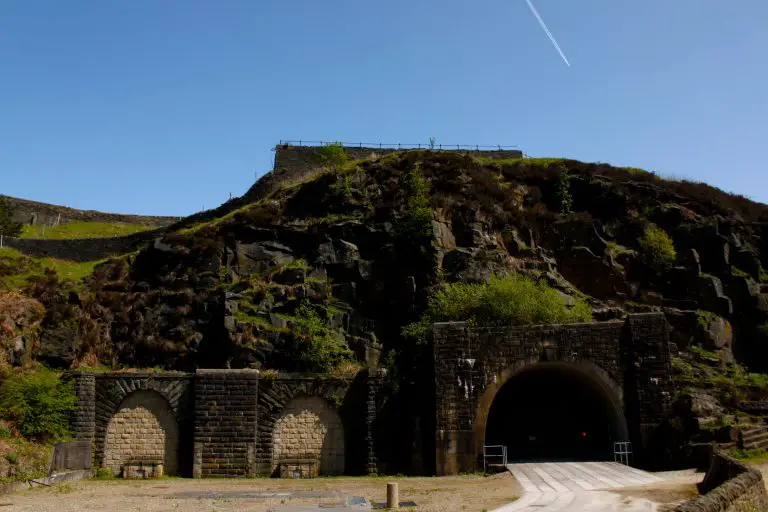
Once we reached the bottom of the car park, we turned left and followed the path that takes you to the old Woodhead Railway Station. The oldest of the three tunnels that are bored into the Pennine rock here dates back to 1845 and is over three miles long. An increase in traffic saw the creation of two more tunnels in the 19th and 20th centuries. The line was eventually closed in 1981, despite fierce opposition from the local community.
From there, we carried on along the flat path through the valley until we needed to turn back. We stopped just short of Woodhead reservoir before turning round and going back to the car, but you can continue along here and get to Torside Reservoir on this path if you wanted to go further.
Dog Friendly Places To Eat In Glossop
If you fancy something to eat once you’re done, you’re best heading towards Glossop and the villages surrounding it, where there are plenty of dog friendly eateries to choose from.
In Tintwhistle, you can find the highly rated Bull’s Head, where dogs are welcome both inside and out. It’s shut Monday, Tuesday, and Wednesday and only opens in the evening on Thursday and Friday, but it’s open from midday at the weekend for lunch. It’s ideal for hikers as it’s only 10 minutes walk from the Longdendale Trail – many use it as a starting point for their routes.
A stone’s throw from the Bull’s Head is Arnfield Fly Fishery Cafe & Restaurant. This cosy cafe offers delicious Thai dishes that can be enjoyed while looking out over Arnfield Reservoir.
In Glossop itself there’s The Queens Arms. This 19th century pub has a regular rotation of guest beers on tap, including beers from local breweries like Howard Town Brewery, as well as providing home cooked food from Sarah’s Kitchen. You can also book a room overnight here if you’re travelling from further afield.
More Like This...
Edale and Crowden Clough Walk
You'll go off the beaten path on this challenging but extremely rewarding Peak District dog...
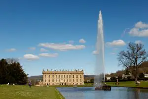
Chatsworth House Walk
Enjoy a walk around the grounds and gardens of one of Britain's most famous stately...
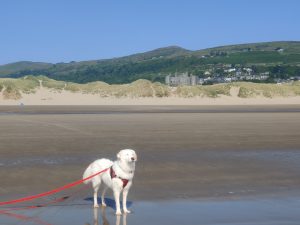
Is Harlech Beach Dog Friendly?
Harlech Beach is a beautiful part of Wales, with the impressive Snowdonia National Park forming...
Bosley Cloud Walk
You will enjoy stunning views of the Cheshire countryside on this concise route, as well...